Angela Rehhorn is a participant in Group 5 of the Canadian Conservation Corps.
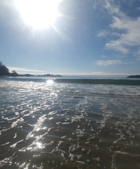
I feel like I am living in a movie scene as I sit on my surfboard, staring out towards Japan, watching the sky turn various shades of orange as the sun begins to set.
Although this is something I’ve always dreamed of, it never really felt like it would be reality. I’m in awe of this place and it’s beauty.
Aside from surfing, hiking, and watching sunsets I have been learning a lot from my Canadian Conservation Corps field placement at Pacific Rim National Park Reserve.
Here are some of the highlights from the first two months.
Endangered Plant Surveys
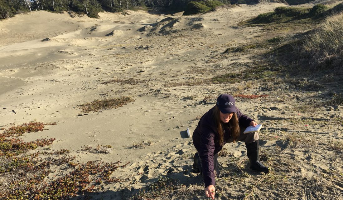
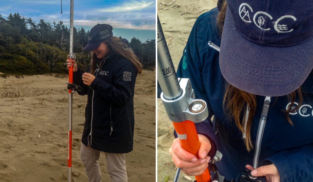
We continued the survey of Pink Sand Verbena and finished counting all 1,690 plants on Schooner beach. The fecundity survey took us longer than anticipated because there were more plants than expected. There were many spots where the plants were clumped together in close quarters. A handheld GPS could not differentiate the locations so we used a Real-time kinematic (RTK) GPS system to more accurately map the location of each plant.
Here are some of the details:
- First, we levelled the base instrument on a known location of rebar.
- Next, we took the rover — essentially a very large stick topped with an instrument that communicates with the base — to another known waypoint to see how accurately it was recording location. Our threshold was two centimetres.
- Then we took the rover to each plant that we had previously flagged, entered the plant ID and recorded the location once the rover was levelled.
- Finally, this information was uploaded onto the computers so we could use it to map the plants on ArcGIS software.
This is not an area of my expertise so it was a really helpful learning opportunity for me. I uploaded the base maps, added data sets, fixed outlier data points, joined data tables and manipulated the data and maps to show useful depictions. By mapping the plants from Schooner we were able to compare the location of plants in relation to plant count and reproduction which potentially allows us to determine habitat preference and features.
For example, even though there may have been more plants on the dune itself, the plants on the beach may have been more reproductive. This allows us to look into potential possibilities and learn more about the plant in order to conserve it better.
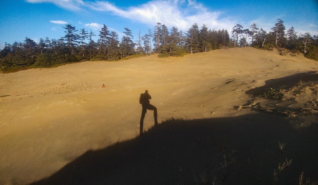
With the Schooner survey under our belts, we moved on in search of Pink Sand Verbena on Wickaninnish beach where the dunes are much larger. The landscape is so vast that I felt completely insignificant. Although the whether was colder our days still consisted of walking the beach watching the surfers, enjoying the waves and following wolf tracks.
Eelgrass Analysis
Our other main project with the park was analyzing underwater towed video of Eelgrass. This was a combined project between the Pacific Rim National Park Reserve (PRNPR) and the Hakai Institute.
There are videos from the park, the gulf islands and Gwaii Haanas. We were predominately looking for the presence and density of eelgrass on a scale of one to four. We were also recording the substrate, if it was vegetated, the type of algae, the density of algae (sparse or dense), and if there was scarring present on the eelgrass as an indicator of wasting disease. This information was given to the Hakai institute to be analyzed and used to make accurate maps of the location and density of the eelgrass beds.
Eelgrass is an important ecosystem to monitor and maintain for various reasons. It is an area of primary nutrients and habitat (or nursery ground) for many larval species and early life stages. This project gave us the opportunity to learn and to practice identifying algal species as well as other marine life such as fish, starfish, crabs, and sea pens. It has also provided a nice escape from the field when the infamous West Coast rain made an appearance.
Keeping Visitors Safe
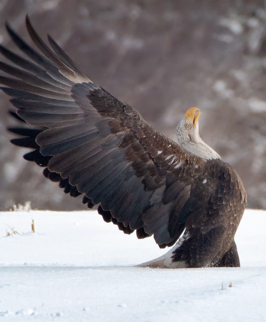
Another interesting thing I was exposed to is diversion area feeding. There are many cases where a dead animal will wash up on the beach or be found around a popular area or trail. This is a natural component of the ecosystem but in the case of a national park visitor safety is always a concern.
These carcasses will attract predators such as wolves, bears, and cougars. It is important that these species have access to this natural food source. However, to keep the visitors safe and to prevent interaction with the wildlife, these carcasses will sometimes be moved to areas that are more discrete and out of the way.
Seal and Shark Diversion
There were reports of a dead harbour seal on Wickaninnish so we headed out to check the situation with the probability of moving the carcass off the beach. As we approached the seal carcass it was clear the wolves had already made their appearance. Among many tracks, they had already dragged the seal from the mid to upper beach (making our job easier). Measurements of the seal were taken before using a rope to drag it past the sand dunes and into the bush in efforts to keep the wolf activity out of human range. It is important for the park to limit the interaction between people and the wildlife to “keep the wild in wildlife.” If the animals become accustomed to the presence of people it could lead to habituation – the loss of their natural fear – putting both humans and the wildlife in danger.
There was also another interesting case of diversion area feeding after a wolf was seen dragging a shark (still alive) out of the water near Schooner beach. Due to the high traffic of visitors in the area the shark was removed and had to be placed somewhere else where the wolves would still be able to find it and feed if they wished. The shark had to be removed quite far from the original location. In this situation it is important to leave a scent trail to lead the animals to the new area.
Joining the wolf CORE
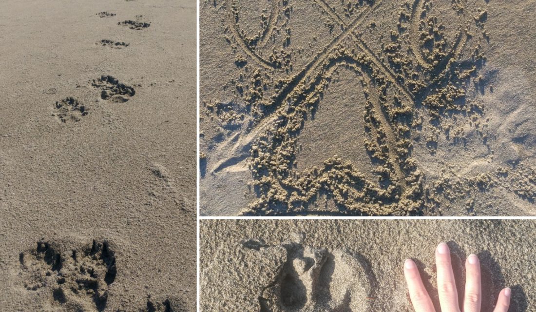
We also had the opportunity to join the wolf CORE team in deploying some trail cameras to track wolf activity. We headed out to our first location on Wick beach. It wasn’t long before we started to notice and follow wolf tracks. It turns out we were able to follow these tracks right through to the location where the camera was to be placed. Some of the tracks were very fresh – I was told within the hour. I was cautioned that although following the tracks is fun, you sometimes find the wolves.
This was also the perfect opportunity for me to learn some tricks and tips to identify wolf tracks vs dog prints. Due to the high use of the beaches in the park it can be difficult to tell if a track is a large dog or a wolf. Arlene and Sarah from the park explained that wolf prints are more symmetrical and wolves usually walk in straighter defined paths. The two middle toes of a wolf print are usually flush with each other and the two outside toes are symmetrical on either side, whereas a dog print will be more spread out with a curve similar to looking at our own hands – like a binomial distribution.
Dogs also tend to have a more erratic path because they don’t have the same goal-oriented missions as the wolves. After completing camera maintenance (switches, SD cards, implementing proper capture settings, recording location and angle) we continued to follow wolf tracks in the other direction almost all the way to the parking lot.
It was interesting to see how straight of a path the pack took throughout the sand dunes. There were defined tracks going both to and from the area – on their way out and on their way back. This was a good location to have a trail camera. Dune ecosystems are worth protecting as they are frequently used by animals such as wolves, bears, deer and other animals.
Dynamic Ecosystems
An interesting side observation was a newly exposed lumber platform that was probably used by the military in World War II. There are signs all over Wickaninnish warning visitors of the beach’s past use as military training ground and the possibility of finding explosives. The area has been fully scanned with metal detectors and anything found was removed and detonated. This was also a good example of how Sand Dunes are dynamic ecosystems that are constantly moving. With wind and waves the sand is pushed around to new areas and new locations thus exposing a platform that wasn’t visible before.
Basking in the West Coast glory
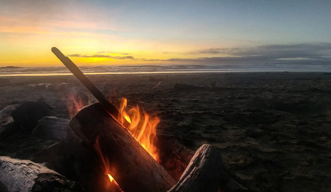
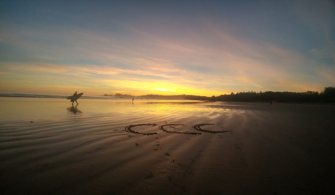
My second month in Ucluelet has proven to be just as action packed as the first. We found some time to visit two other CCC members at their placement at Fort Rodd Hill National Historic Site in Victoria and I was able to catch up with an aunt I hadn’t seen in years as well as a good friend from Dalhousie. It really is a small world. The other CCC members also had the chance to visit us in Ucluelet so we took them for a beach fire, surfing, and showed them around. The life I am living feels unreal and I am basking in the West Coast glory. I cannot wait to see what the last month will have in store for me but for now I’m heading back to the beach. Surfs up!
Learn more about the Canadian Wildlife Federation‘s Canadian Conservation Corps.
The opinions expressed are those of the participant and do not necessarily reflect the views of the Canadian Wildlife Federation.
CWF-FCF
Our mission is to conserve and inspire the conservation of Canada’s wildlife and habitats for the use and enjoyment of all.