A new dam database allows experts to target freshwater connectivity barriers.
The connectivity of our freshwater ecosystems – rivers, streams, and lakes – has been a topic of increased public discussion recently, both in Canada and around the world. Large-scale human development has led to the fragmentation of Canada’s freshwater systems, with infrastructure acting as barriers to the natural flow and connectivity of streams and rivers.
What Makes a Barrier?

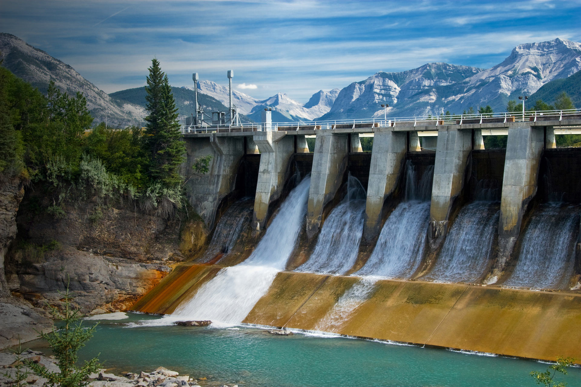
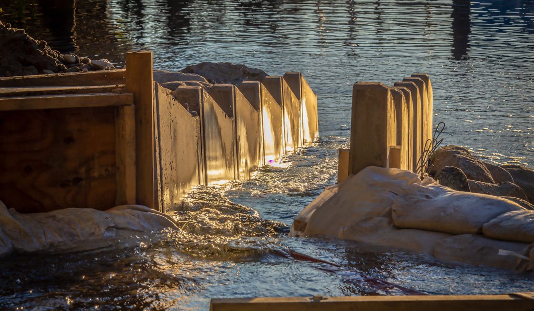
Barriers to freshwater connectivity can include dams, weirs, dykes and culverts. These fabricated structures provide social and economic benefits, like hydro power generation from dams and the increased ability to travel freely across this great country provided by our road and rail networks.
Unfortunately, these barriers also:
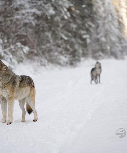
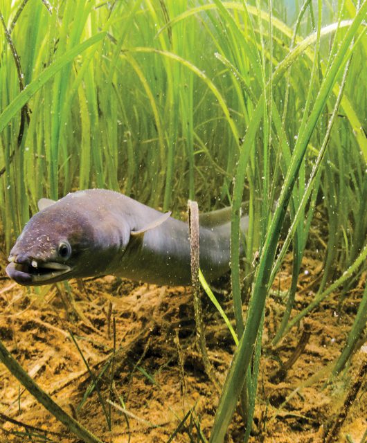
- Prevent passage for fish and other species (many of which rely on annual migrations to complete their life cycles)
- Disconnect rivers and lakes from their riparian wetlands and floodplains
- Disrupt the transportation of sediment and nutrients
There is a growing field of work specifically aimed at reducing the impacts these barriers have on our freshwater ecosystems. The remediation of barriers through removal, decommissioning, or the installation of passage structures can help reduce or erase the impact of these structures.
But, there is still work to do. The regulation, programs, tools and data to support the restoration and conservation of freshwater connectivity and fish passage in Canada are underdeveloped.
There is a clear need to assess, map and prioritize barriers that are having the greatest negative impact on our streams so that we can strategically pursue restoration opportunities.
Overcoming Barriers

This is where the Canadian Aquatic Barriers Database (CABD) comes in. Small barriers have been mapped in certain watersheds and regions in Canada to support fish passage and connectivity efforts. However, no database currently combines small (e.g., culverts) and large (e.g., dams) barriers at a national scale along with standardized attributes that inform decision making.
The Canadian Wildlife Federation, with support from partners and engaged stakeholders, is leading the development of the CABD to provide a central pillar for a suite of tools to support fish passage and connectivity work and research. The CABD will contain a national stream and river network and locations of known barriers, with the ability to view the data through a web map or download the data for other uses.
What We’re Trying to Achieve
Through the development of the CABD, CWF hopes to:
- Build meaningful relationships with an engaged network of partners across the country to create a community focused on freshwater connectivity and barrier remediation
- Make all of Canada’s barrier data openly available in one place, easily accessible through your web browser
- Develop tools and resources to support policy and reporting work, restoration planning and prioritization, infrastructure asset management, research and monitoring programs, and education and public outreach initiatives
The CABD is coming soon! We will have a test launch in April 2021, allowing users to access the barrier data and web map in eight pilot regions across the country. There are so many exciting projects going on in Canada right now, like the Campbell Creek Dam removal project in New Brunswick. With the CABD, we can help support more of these projects in the future and help reconnect the stream and rivers of Canada.


